

NJ's Congressional Redistricting Farce
Booting former Senate President Steve Sweeney from the legislative redistricting panel is the latest twist in a very messy redistricting process.
(Trenton) -- Redistricting happens once a decade when all 50 states redraw their Congressional and legislative boundaries to reflect changes from the most recent Census.
In New Jersey, redistricting is done by professional partisans who harness the redistricting process to benefit their own political party (usually at the expense of non-incumbents and 3rd party voters.)
The new legislative map is in the works. The Congressional map came out last week.
How it went down
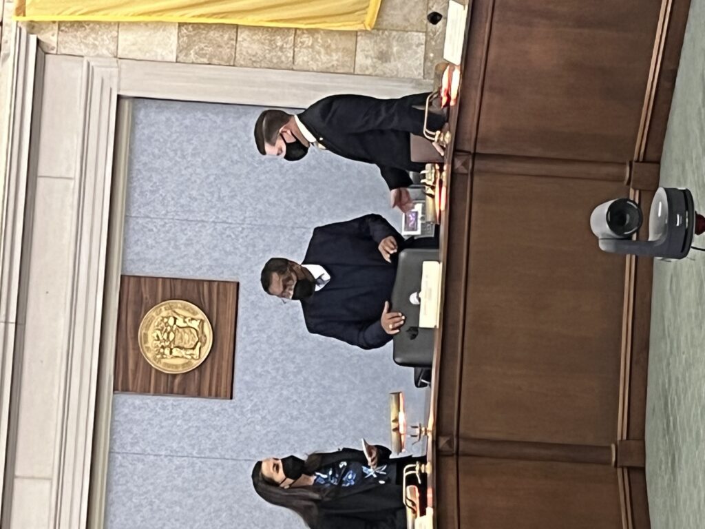
New Jersey's 12-member (+ one tiebreaker) Congressional redistricting commission is split between democrats and republicans who ultimately couldn't agree on what NJ's new Congressional boundaries should look like. The matter was settled, arbitrarily it would appear, when NJ's Supreme Court appointed a former colleague named John Wallace Jr. to break the tie.
“In the last redistricting map, it was drawn by the republicans,” Wallace explained. “Thus I conclude that fairness dictates that the Democrats have the opportunity to have their map used for this next redistricting cycle.”
His conclusion that "fairness dictates" probably sounds hollow to the roughly 2.5m non- aligned voters living in NJ.
Not entirely settled
NJ's new congressional map may still be in flux. Jilted their map didn't prevail, the NJGOP took matters to court.
NJGOP state director Doug Steinhardt also chaired his party's Congressional redistricting squad.
“It’s insulting to me as a member of the commission, it’s insulting to me as a voter,” said Mr. Steinhardt. “I would have at least liked the courtesy of being told that my map stunk. Justice Wallace did a disservice to 9 million people when he walked away from the process, threw up his arms and basically said he wasn’t going to make a decision.”
Mr. Steinhardt's not totally wrong but let's be honest: his was map worse. Steinhardt gave republicans an edge in 6 of NJ's 12 Congressional districts despite being outnumbered by democrats by over a million voters.
Never mind NJ's largest voting bloc is nether democrat nor republican.
Doin' it for themselves
Roughly 9.3m people live in NJ per the 2020 Census data. There are 6,590,904 registered voters in NJ. That tally includes 2,422,493 unaffiliated voters + another 81,844 3rd party voters in NJ. Together that’s a plurality of New Jersey voters, the largest voters bloc in the state, who chose to reject the two party system.
By design, there's not a single, solitary non-partisan on NJ's redistricting commission.
That suggests New Jersey’s redistricting process was never about giving voters compact, competitive districts. The whole point of redistricting in NJ is for partisans (ie: democrats and republicans) to entrench and enshrine themselves.
Independent voters, a plurality unrepresented at the mapmaking table, are stripped entirely from the calculus.
16 reasons this map is garbage
Democratic members of NJ's Congressional redistricting committee cited minority- and LGBTQ voters when combining Asbury Park, Neptune Township/Ocean Grove, and Neptune City into one congressional district (the 6th.) This consolidates the voting power of similarly-situated voters who, the argument goes, see their political power diluted when spread over multiple Congressional districts.
Keeping towns with similar demographics and affinities together is a compelling argument but I'm not buying it in this case. Especially not when the democratic map divided not one, not two, but sixteen municipalities into separate Congressional districts!
If grouping municipalities that are culturally and demographically similar a priority (Democrats say it is) then how on earth do we justify dividing the following towns into separate congressional districts?
- Berkeley (Ocean)
- Bridgewater (Somerset)
- East Greenwich (Gloucester)
- Freehold (Monmouth)
- Hillsborough (Somerset)
- Jersey City (Hudson)
- Kearney (Hudson)
- Lacey (Ocean)
- Linden (Union)
- Maywood (Bergen)
- Mendham (Morris)
- Montclair (Essex)
- Newark (Essex)
- Old Bridge (Middlesex)
- Wayne (Passaic)
Micah Rasmussen runs the Rebovich Institute for NJ Politics at Rider University.
"The entire idea of keeping together communities of interest because of what they share in common flies in the face of dividing a single community," Mr. Rasmussen told InsiderNJ. "It definitely can be confusing to voters if your neighbors are voting in one race and you're voting in a different one. It can also have the effect of diffusing the power that you and your neighbors have if you've got to ask two members of Congress to advocate for your community's particular need, rather than one. You've got to be careful not to dilute the voting power of a community, especially the smaller part of a split town."
Or in NJ's case, the small part of 16 different towns.
"Splitting communities is sometimes inevitable, as we will soon see with Jersey City and Newark having more people than a single state legislative district." Mr. Rasmussen added. "But every mapmaker appreciates the need to keep them to an absolute minimum, because they can have adverse impacts. Most observers I know are looking forward to the upcoming no-split rule for the state legislative map that will ensure we only have two split municipalities rather than sixteen, as we do on the Congressional map."
There's an actual rule (section 3) against splitting towns into multiple legislative districts, unless a town's population exceeds the size of a district.
The self-serving Democrats on this year's redistricting panel prove we need a similar rule for Congressional maps as well.
Jay Lassiter is a longtime political raconteur best known for legalizing weed and gay marriage.


The lawsuit to overturn the map has just been dismissed by the NJ Supreme Court - unanimously, including both Democratic and Republican appointees.
The "Republican map" from ten years ago allowed Democrats to win 11 out of 12 seats, so clearly it wasn't that gerrymandered. This adopted map gives Ds 75% of the seats or more in a state they only get 55% of the vote in, hardly "fair."
This is b.s. The Republican map from 10 years ago had (I believe) 14 towns split. So this one has 16. 14 vs. 16 is not a qualitative difference, it is just a detail. I am not happy about my own town (Bridgewater) being split but the REAL farce would have been adopting the Republican map. It would have gerrymandered Kean Junior into a safe district while leaving Sherrill, Gottheimer and Kim vulnerable. Pure partisanship. At least this map gives Malinowski a chance to win.