
The Roots of a New Jersey Fourth of July
New Jersey is typically thought of in a North-South context, with some debate as to whether or not “Central Jersey” is a thing. Governor Phil Murphy seems to think so. Others are not so convinced. But the divide, characterized in New Jersey’s politics as a powerful but fractious north and a more unified but more dispersed south, is relatively new to the Garden State.
July 1, 1676, codified New Jersey as being divided into the Province of East Jersey and West Jersey. This was enacted with the Quintipartite Deed.
When the Dutch arrived in the early 17th Century, thanks to the territorial claims of English navigator Henry Hudson, New Jersey, New York, and parts of Connecticut were called New Netherland, with its capital of New Amsterdam situated at the southern tip of Manhattan island. Following an unsuccessful war with England, the Dutch transferred ownership of their colony to King Charles II. His brother, James, Duke of Albany and York, sailed to the New World and the formerly Dutch colony was renamed in James’ honor.
New Jersey derived its name from the Isle of Jersey, a Crown dependency in the English Channel closer to France than to England, geographically. It was not long before New Jersey started to have its administrative issues, a tradition which has been carried on to the present day. It was decided that New Jersey, as it was, would be better served if split.
Not along Blue Jersey or Red Jersey, or Pork Roll Jersey or Taylor Ham Jersey, but by dividing it physically.
The East Jersey colony went to Carteret and West Jersey went to Byllynge and his associates. Once the quill-dispensed ink was dry, in true Jersey fashion, there were disputes as to where, exactly, the divide was. Over the coming decades, various surveyors submitted their “lines”, which was, more or less, defining the two colonies as divided North-west to South-east. The West Jersey capital was found in Burlington while the East Jersey capital was established in Perth Amboy. Today in Perth Amboy one can find the Proprietary House, the last original Royal Governor’s Mansion in the thirteen colonies. The museum is open for tours and recently underwent an extensive, but necessary, renovation to preserve this unique gem of New Jersey colonial history. Its greatest claim to fame is that it was here William Franklin, New Jersey’s last royal governor and loyalist son of Benjamin Franklin, was arrested during the Revolutionary War.
Queen Anne unified West and East Jersey into one colony, New Jersey, in 1702, as a way to deal with the instability and conflicts which had been plaguing the Jerseys. The first Royal Governor actually set up his office in New York City. Lord Cornbury was, in fact, governor of both New York and New Jersey, and held that position primarily to defend the colonies from French or Spanish attack during the War of Spanish Succession, otherwise known as Queen Anne’s War in the colonies.
It is worth noting one of New Jersey’s early institutional handicaps, although one which was eventually overcome in the span of a mere 88 years. In a nightmarish, European Union-style form of compromise, the New Jersey capital post-unification altered between Perth Amboy and Burlington until Trenton was made the permanent New Jersey capital on November 25, 1790.
Even though New Jersey had been united, issues remained with respect to land disputes stemming from the East and West Jersey survey lines before. This was finalized with the Lawrence Line, a product which came about some four decades after New Jersey’s unification (and you thought waiting for the MVC was bad). A number of Sussex County municipalities are defined, in part, by the Lawrence Line to this day.
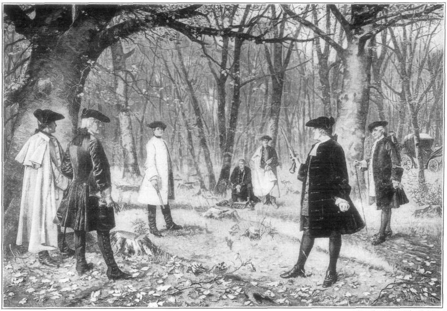
New Jersey was not yet fully made, however, in a geographic sense. New Jersey and New York disputed their exact border for most of the 18th Century. Land conflicts occasionally broke out into violence between the two colonies, with raids by New Jerseyans and New Yorkers taking place even while both colonies were fighting the French and Indian War. In 1765, a band of New Jersey raiders captured their New York counterparts and lodged them, for a time, in a Sussex County jail. Once again, a royal intervention was required to settle New Jersey’s inability to manage its own affairs. Unfortunately for New Jersey, a 1769 Royal Commission found more favorably for New York in terms of land, but at least the borders had been finalized and the violence came to an end.
That much settled, New Jersey, a vaguely peanut-shaped territory with Cape May as its stem, had come to terms with itself from without, but continues to try to define itself—economically (“Is this budget really going to address property tax relief or just a sham?”), culturally (where NJ schools are among the most segregated in the nation), and politically (bullhorn-toting “outsiders” on the streets vs. machine suits at fundraiser dinners)—from within.


